Transforming Places Into
Digital Experiences
Miles360 is an interactive digital property experience platform that helps people explore, understand, and evaluate places remotely before visiting or investing. By transforming physical spaces into interactive digital experiences, we help organizations showcase their spaces more effectively, build trust, drive engagement, increase sales, and reach audiences anywhere in the world.
TELEMETRY: ACTIVE
ALTITUDE: 120M AGL
BEARING: 0.00°
SATELLITES: 18 FIXED

Sell Faster With
Immersive
Property Tours
Buyers navigate your property remotely, visualize their investment, and commit with confidence—before a single site visit.

Engage Local &
Diaspora
Buyers Anywhere
Miles360 removes distance as a barrier—letting overseas buyers fully explore properties and invest with total clarity, from anywhere in the world.

Convert Interest
Into Confident
Decisions
Reduce time-on-market and buyer hesitation. Virtual tours give clients every answer before they call—so when they do, they're ready to commit.
Experience every room, corner and outdoor space remotely before setting foot on site.
Engage local and international buyers simultaneously. Distance is no longer a barrier.
Convert interest into confident decisions—without the delays of scheduling physical visits.
Visualize. Explore.
Experience.
The future of land and property engagement — without setting foot on site.
Miles360 delivers fully immersive 360° environments so every stakeholder — investors, buyers, planners, and approving bodies — can explore, evaluate, and decide with complete clarity, from anywhere in the world.
Everything, Precisely
Where It Matters.
A unified 360° experience powered by intelligent data layers.
Miles360 transforms complex property data into a seamless, interactive experience. Instead of switching between maps, documents, and visuals, users access everything within a single environment. Every detail — spatial, technical, and contextual — is embedded directly into the experience, allowing users to explore, understand, and evaluate properties with clarity and ease.
Seen. Understood.
Approved.
Where communities and decision-makers share the same vantage point.
Large-scale infrastructure and public works projects often stall not from lack of merit, but from lack of clarity. When planners, communities, and approving bodies interpret the same project through different lenses, misalignment slows momentum and erodes trust.
Miles360 bridges that gap by giving every stakeholder — from the urban planner to the local resident — a shared, immersive view of what is being built and why. By grounding complex spatial data in a visual environment anyone can navigate, it transforms abstract proposals into something tangible, fostering the informed consensus that moves projects forward.
Plot Intelligence
Access key details such as size, pricing, availability, and specifications instantly within the experience — no switching between documents or systems.
Spatial Visualization
Navigate the full layout and understand positioning, scale, and relationships between spaces through immersive 360° navigation.
Points of Interest
Explore surrounding infrastructure — roads, amenities, landmarks, and natural features — all integrated into the live environment.
Media Layers —
One link. Everything inside.
View videos, brochures, galleries, and interactive maps without ever leaving the platform. A complete presentation condensed into a single shareable experience — accessible on any device, from anywhere in the world.
Terrain Captured. Stories Delivered.
Real estate, buildings and landscapes across East Africa.
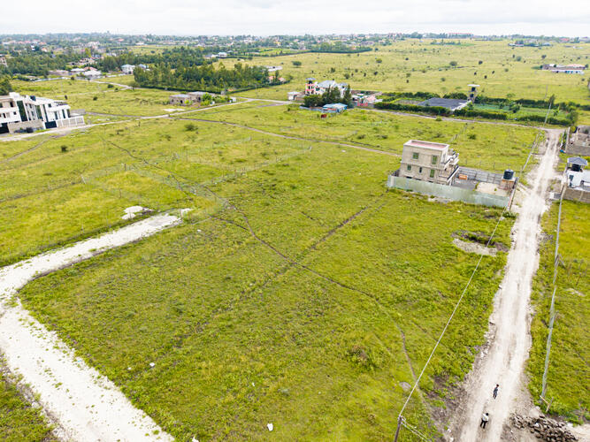 Aerial Plot View
 Land Subdivision
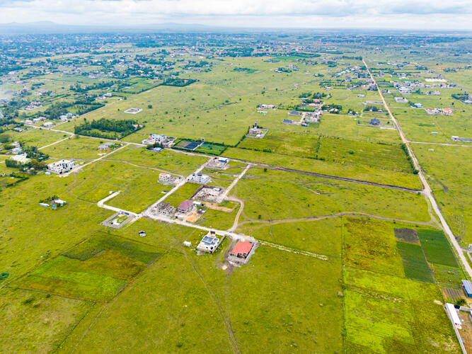 360° Site Survey
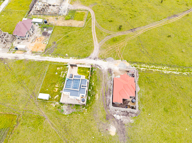 Immersive Property Tour
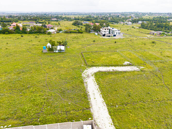 Plot Boundary Mapping
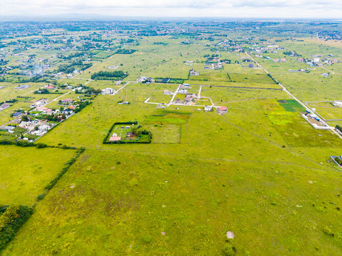 Development Overview
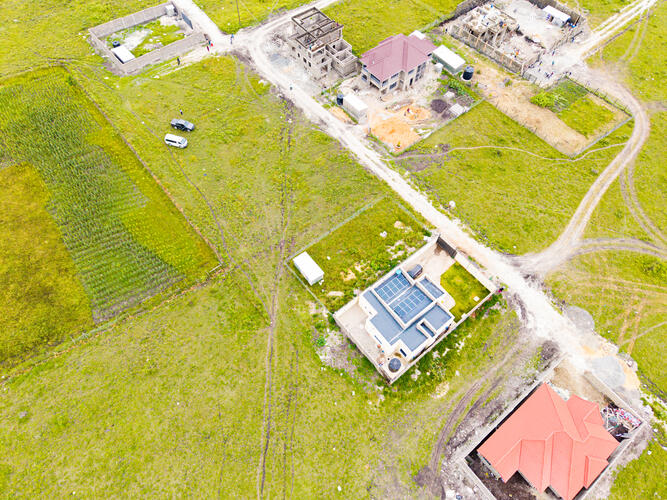 Residential Estate
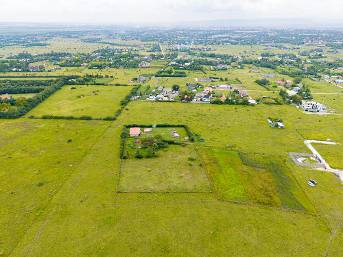 Master Plan Walkthrough
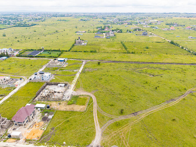 Site Intelligence View
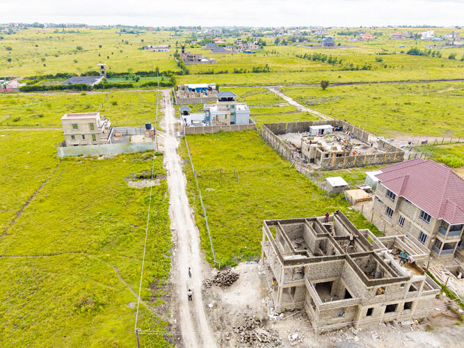 Property Engagement
 Spatial Clarity
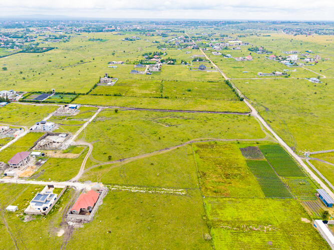 Remote Site AccessAerial Plot ViewLand Subdivision360° Site SurveyImmersive Property TourPlot Boundary MappingDevelopment OverviewResidential EstateMaster Plan WalkthroughSite Intelligence ViewProperty EngagementSpatial ClarityRemote Site Access
Clarity That
Drives Action.
Deliver measurable impact through better understanding and engagement.
Miles360 goes beyond visualization — it enables results. By providing a clear and immersive view of properties, it reduces uncertainty and builds confidence in decision-making. Users engage more deeply, understand projects faster, and move forward with greater intent, ultimately improving efficiency across the entire sales and planning process.
Users spend more time exploring and interacting with your project, developing deeper understanding and stronger intent.
Clear, accessible information reduces delays in decision-making — from first impression to signed agreement.
Complete visibility leads to more accurate and confident choices by remote buyers who cannot physically visit the site.
Remote exploration minimizes the need for repeated physical visits, saving time and resources across the entire process.

Take the
Next Step.
Start transforming how your projects are experienced and understood.
Miles360 enables you to present your projects with clarity, precision, and impact. Whether you're looking to attract buyers, align stakeholders, or improve communication, the platform provides the tools to move forward with confidence. Discover how immersive visualization can elevate your project — and the decisions that surround it.
Ready to begin?
Choose how you'd like to move forward. We'll take it from there.
Book a Demo Request Access Start Your Project View Portfolio